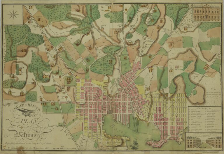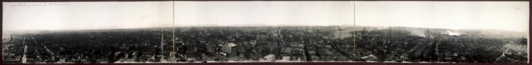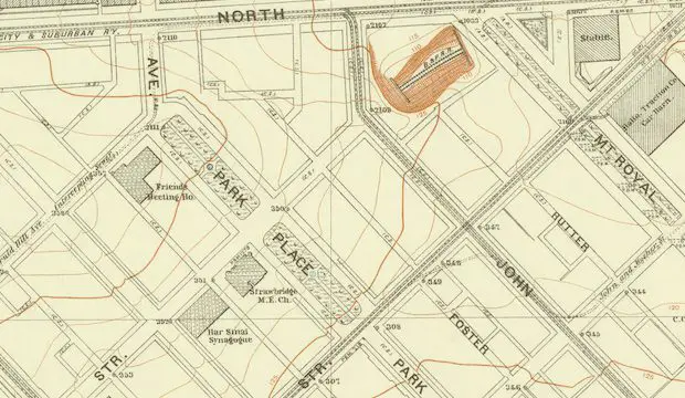
In 1896, the city of Baltimore was a rapidly growing urban center, home to a diverse array of neighborhoods and communities. One of the most notable areas on the map was the cluster of neighborhoods located in the northwest part of the city – Reservoir Hill, Penn North, Bolton Hill, and Druid Heights.
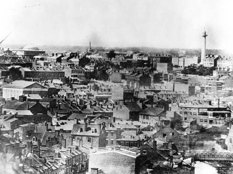
The 1896 map of these neighborhoods provides a fascinating glimpse into the past, showcasing the layout of the streets, buildings, and landmarks that defined the area at the time. Some of the most notable features of the map include the many parks and green spaces that were scattered throughout the neighborhoods, including Druid Hill Park and the smaller Reservoir Hill Park.
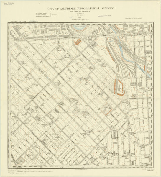
In addition to the parks, the map highlights the many churches, schools, and other public institutions that were vital to the community. These included the St. James Episcopal Church, the historic Lafayette Square Presbyterian Church, and the Franklin Square Hospital.
The neighborhoods were also home to a diverse range of residential buildings, ranging from grand mansions to more modest rowhouses and apartment buildings. Some of the most notable buildings on the map include the Park Hotel and the Eutaw Place mansions, which were home to some of Baltimore’s wealthiest residents.
Today, the neighborhoods depicted on the 1896 map have undergone significant changes. Some buildings have been lost to time, while others have been transformed or repurposed for new uses. However, many of the key features highlighted on the map still remain, including the parks, schools, and churches that have served as the backbone of these communities for more than a century.
Overall, the 1896 map of Reservoir Hill, Penn North, Bolton Hill, and Druid Heights provides a fascinating look into Baltimore’s past, and a reminder of the rich history and diverse communities that have shaped the city over time.