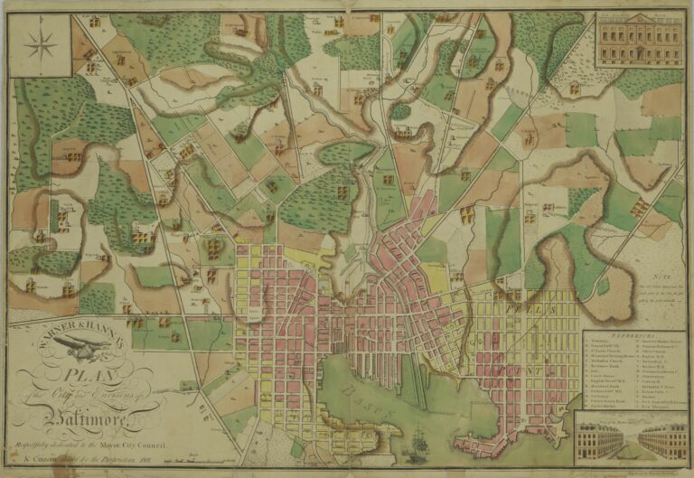

This old map of Charm City shows what it looked like in 1935. Click on it for more details.
We use AI to help research, write and edit stories across our sites. Here’s how we use AI.Suggest a correction
Try an address, a neighborhood, a name or a year, like “Fells Point” or “1904.”
Not sure where to start?A 1935 map shows Baltimore’s streets and wards, accompanying Frederick Stieff’s book about city government.

This old map of Charm City shows what it looked like in 1935. Click on it for more details.
We use AI to help research, write and edit stories across our sites. Here’s how we use AI.Suggest a correction
Filed underWe Love Maps
The newest story, plus a few from the archive.
Free. Unsubscribe anytime.
The newest story, plus a few from the archive.
Free. Unsubscribe anytime.