Detailed 1905 Map of Baltimore
Posted on
February 19, 2014
in
We Love Maps
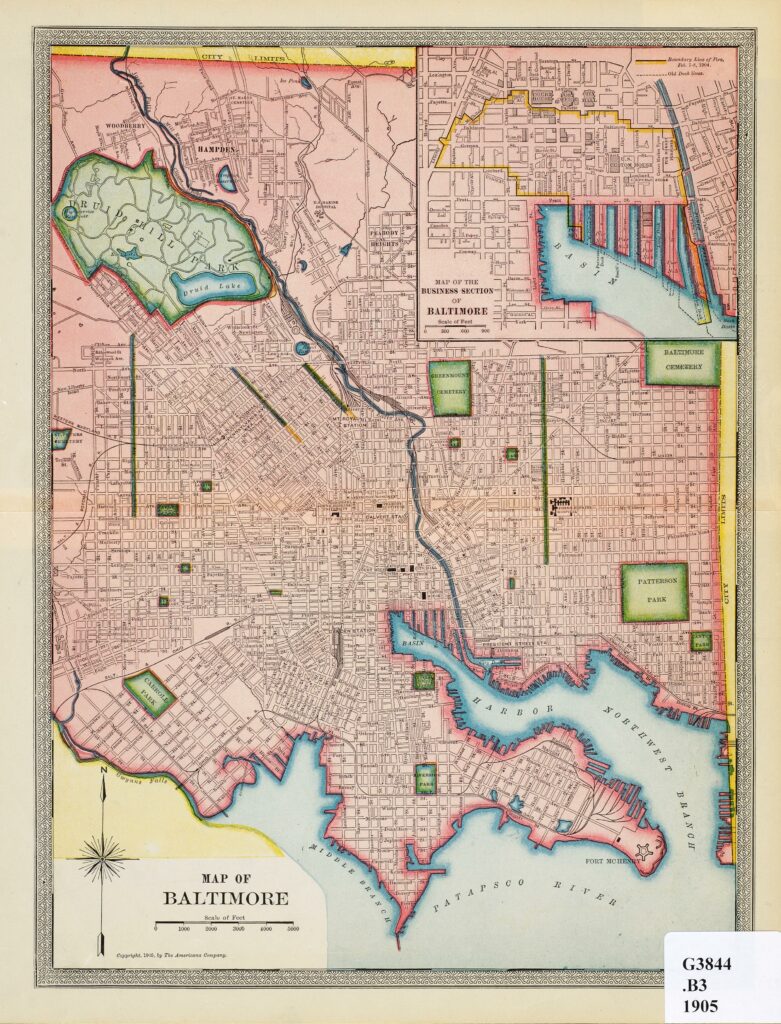
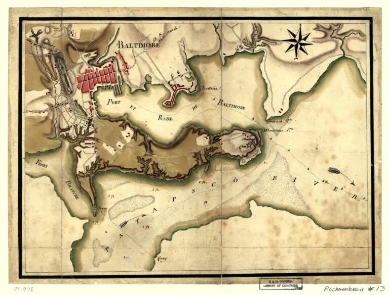
What a terrific old map. This one is from 1905.
1905 map of Baltimore
Source:
Johns Hopkins Sheridan Library
Originally posted on
February 19, 2014
Baltimore in the 1900s
More from Ghosts of Baltimore
1935 Map of Baltimore City
1977 Aerial Photos of Baltimore Penn Station
Then and Now: Pratt Street Power Plant
Civil War Map of Camp Patterson Park
French Consulate is Now a 7-Eleven
Civil War Soldiers at Monument Square
Baltimoreโs Camden Station in 1872
1801 Plan of the City and Environs of Baltimore
This is What Baltimore Harbor Looked Like in 1973
Lovely 1920s Film Footage of Baltimoreโs Pigtown
1857 Map of the City and County of Baltimore
Johns Hopkins Hospital in 1903
Incredibly Detailed 1912 Birdโs-Eye View of Baltimore
Incredible Old Photo of the Wiessner Brewery