

1800s
Two early city plans show Baltimore in the opening years of the nineteenth century, including the 1801 map’s distinction between built and unbuilt areas.
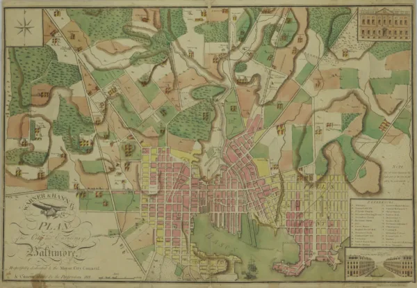
Where Baltimore Ended on an 1801 Map
Warner and Hanna’s 1801 plan uses color to distinguish built and unbuilt parts of the city. Jones Falls, the harbor and the blocks of Fell’s Point make the expanding town easy to explore.
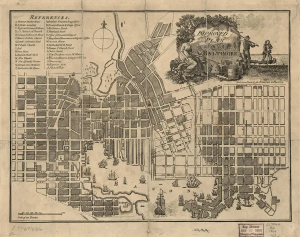
An 1804 Map of Baltimore
An old map shows Baltimore in 1804.
Showing 2 of 2