
Roland Park
Maps and plats show the neighborhood’s layout, while photographs record its homes and transit. A newspaper account looks at Roland Park’s development.

In 1908 the Baltimore Sun called Roland Park the city’s most fashionable suburb. Here’s how a company founded in 1891 with $1 million from English investors turned 550 acres of orchard and meadow into it.

These early photographs show Roland Park homes, gardens and streets, including 218 Ridgewood Road.

Seven plat images document Roland Park on November 8, 1911.
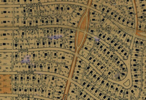
This map shows Baltimore’s Roland Park in 1941.

A map from the Johns Hopkins collection shows Roland Park in 1961.
Lost Baltimore stories, in your inbox.
The newest story, plus a few from the archive.

Passengers prepare to board a trackless trolley bound for Roland Park in this 1943 photograph.