
Ghosts of BaltimoreThe lost and untold stories of Baltimore

Try an address, a neighborhood, a name or a year, like “Fells Point” or “1904.”

Not sure where to start?

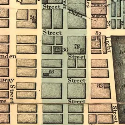
Baltimore on an 1848 Travel Map

This Baltimore map appeared in Appletons’ Hand-Book of American Travel in 1848.

Posted 1 min read

This is a travel map of Baltimore from 1848. Click on it for a larger version.
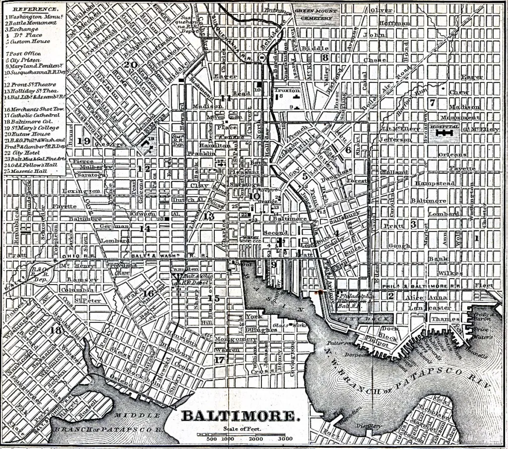
Appletons' Hand-Book of American Travel. New York: D. Appleton and Company, 1869
Appletons’ Hand-Book of American Travel. New York: D. Appleton and Company. Source: University of Texas Libraries.
The Email

Liked this one? Get more tomorrow.

Lost Baltimore stories in your inbox most mornings: the newest, plus a few from the archive.

Stories like these, most mornings
  • This storyBaltimore on an 1848 Travel Map
  • An 1894 Topographic Map of Baltimore
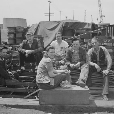
  • Lunch Hour at the Bethlehem-Fairfield Shipyard, 1943

Free. Unsubscribe anytime.

We use AI to help research, write and edit stories across our sites. Here’s how we use AI.Suggest a correction
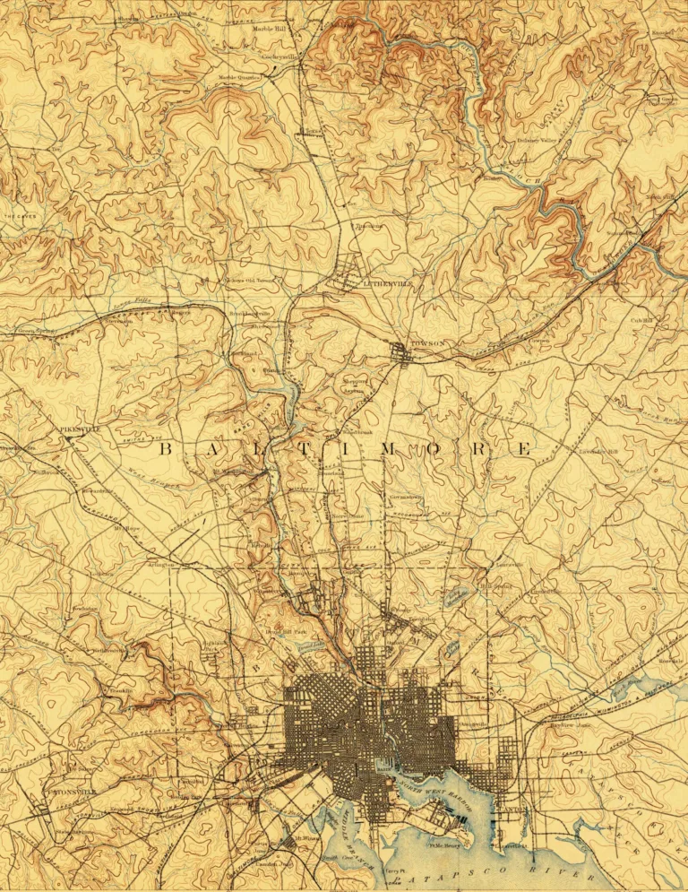
Old topographic map of Baltimore and Baltimore County in tan and brown, with the dense city grid at the harbor at bottom and hilly countryside to the northRead nextAn 1894 Topographic Map of BaltimoreThe U.S. Geological Survey’s 1894 Baltimore sheet shows the city packed around its harbor, with Towson, Pikesville and Catonsville still small towns.Keep reading2 min read