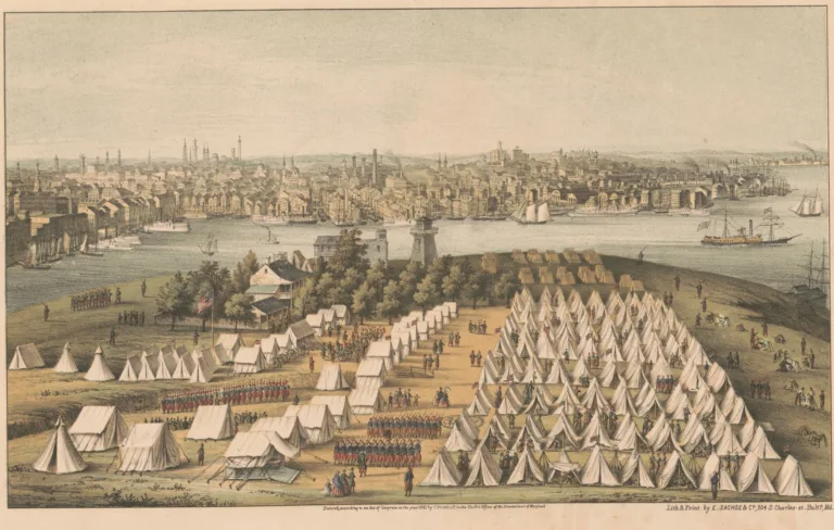

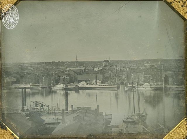
This is what Baltimore’s harbor looked like in the 1840s. It’s a pretty amazing view.

Liked this one? Get more tomorrow.
Lost Baltimore stories in your inbox most mornings: the newest, plus a few from the archive.
Stories like these, most mornings
 This storyThe Harbor From Federal Hill in the 1840s
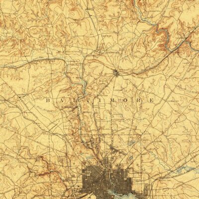 An 1894 Topographic Map of Baltimore
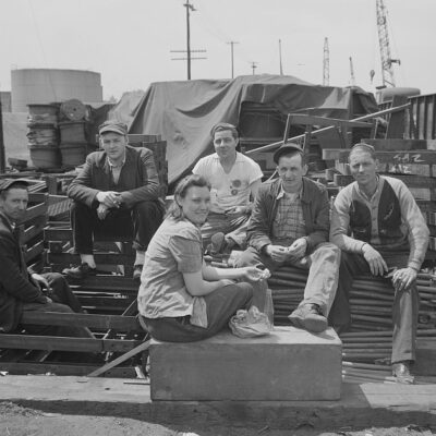 Lunch Hour at the Bethlehem-Fairfield Shipyard, 1943
Free. Unsubscribe anytime.
We use AI to help research, write and edit stories across our sites. Here’s how we use AI.Suggest a correction